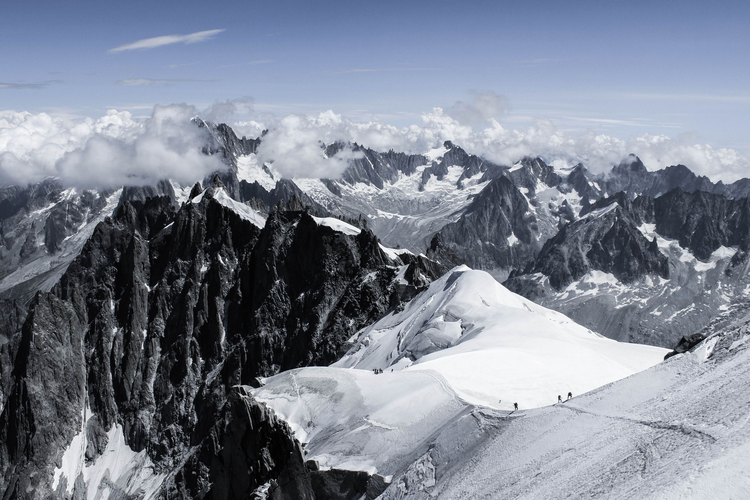
Read the mountain
like a local guide.
Every forecast, avalanche bulletin and trip report for your objective, distilled into one clear brief. For climbers, hikers, riders and ski tourers.
05:00 – 11:40
Grand Teton
13,775 ft · Owen-Spalding
12,400 ft
Falling through the morning
82%
4 of 4 models agree
Built alongside guide services, clubs and rescue teams from our launch partners.
A partner who has
already read everything.
Doable, but treat it as a morning-only objective. Leave the Saddle by 4:30 and plan to be off the summit by 11:45. Storms are likely after 12:30, and the Owen-Spalding rappel queue adds 30 to 45 minutes on summer weekends.
Eleven tabs.
One clear answer.
Forecast discussion, avalanche bulletin, three trip reports, a slope map and a guess at your own pace. Diorite does the reading, brings it all together, and shows you exactly how it reached its answer.
“Models disagree on storm timing by about 90 minutes. HRRR has verified better on this range in June, so I have weighted it. If clouds build over the Middle by 10:30, head down and enjoy the views on the way.”
- 016 min
Weather models
ECMWF, GFS, HRRR, ICON ensembles
- 021 hr
Avalanche centers
58 regional forecasts, 9 countries
- 032 days
Satellite snow cover
Sentinel-2 and Landsat at 10 m
- 04Live
Trip reports
1.2M reports, deduplicated and dated
- 05Static
Terrain
Slope angle, aspect, ATES ratings
- 06Synced
Your history
Pace, splits and vert from your past trips
Everything between the couch
and the summit register.
Full reasoning.
Zero bars.
A compact on-device model handles navigation, whiteout route-finding and turnaround math with no signal, then syncs the moment you are back in range.
- 3.1B
- parameters
- ~3%
- battery / hr
- 180 MB
- per trip
Routes
Route intelligence
The crux, the bail options, the common wrong turn, and how it all changes from July to October.
2.1M routes
Pace
Built from your legs
Real uphill speed from your watch, adjusted for altitude, load and terrain.
Gear
The rack, split
Pack lists from the route, the forecast and what you own. Weighed to the gram.
- Light axe, 50 cm380 g
- Single rack, 0.3–32,410 g
- Rain shell310 g
Party
One plan, everyone
Same brief, same gear split, same turnaround. No group chat archaeology.
Fluent in your sport.
And the next one.
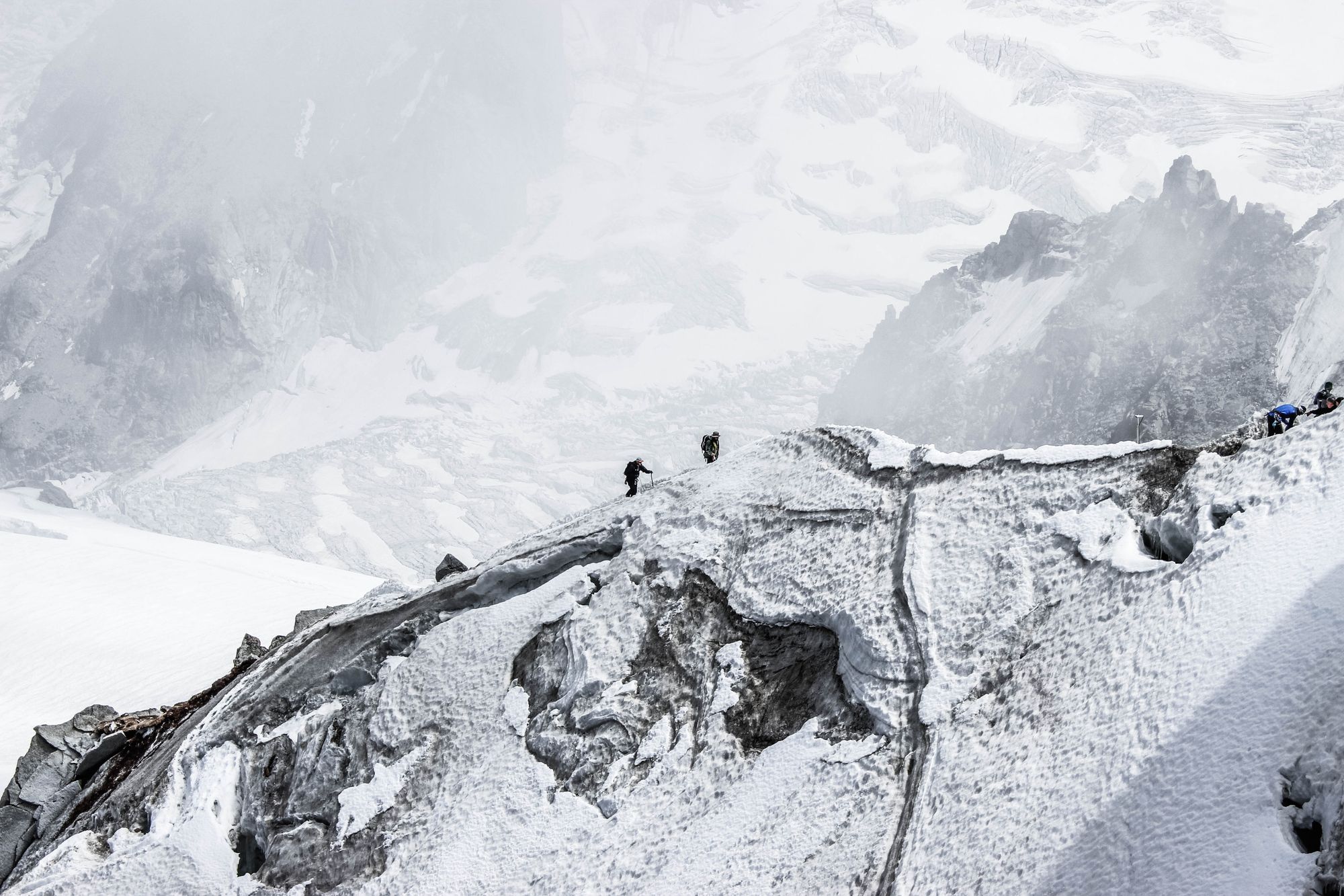
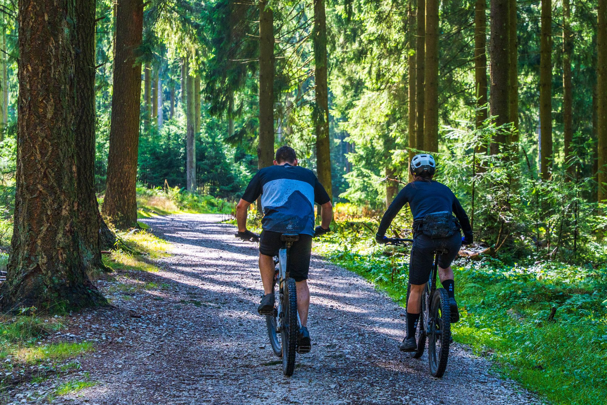
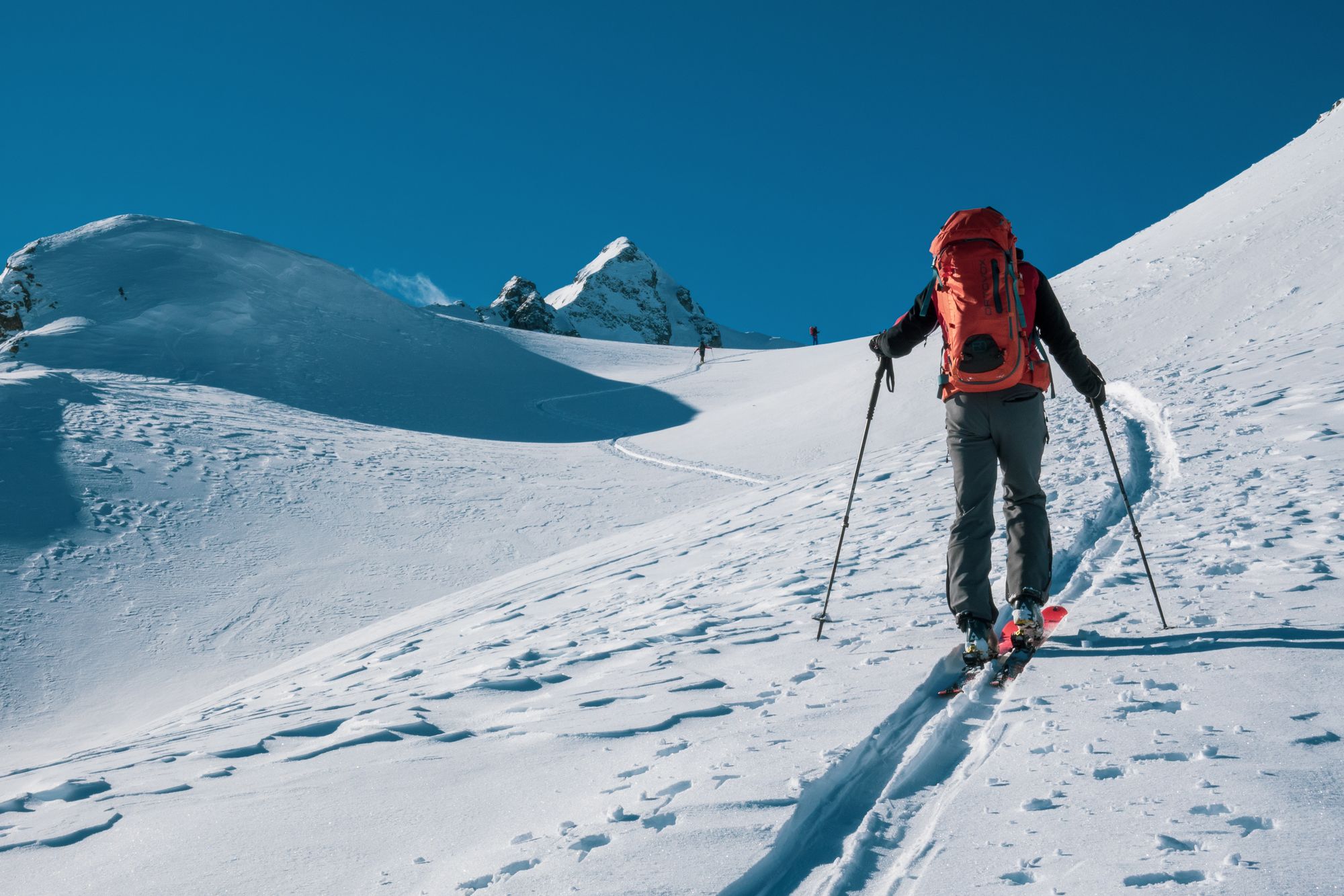
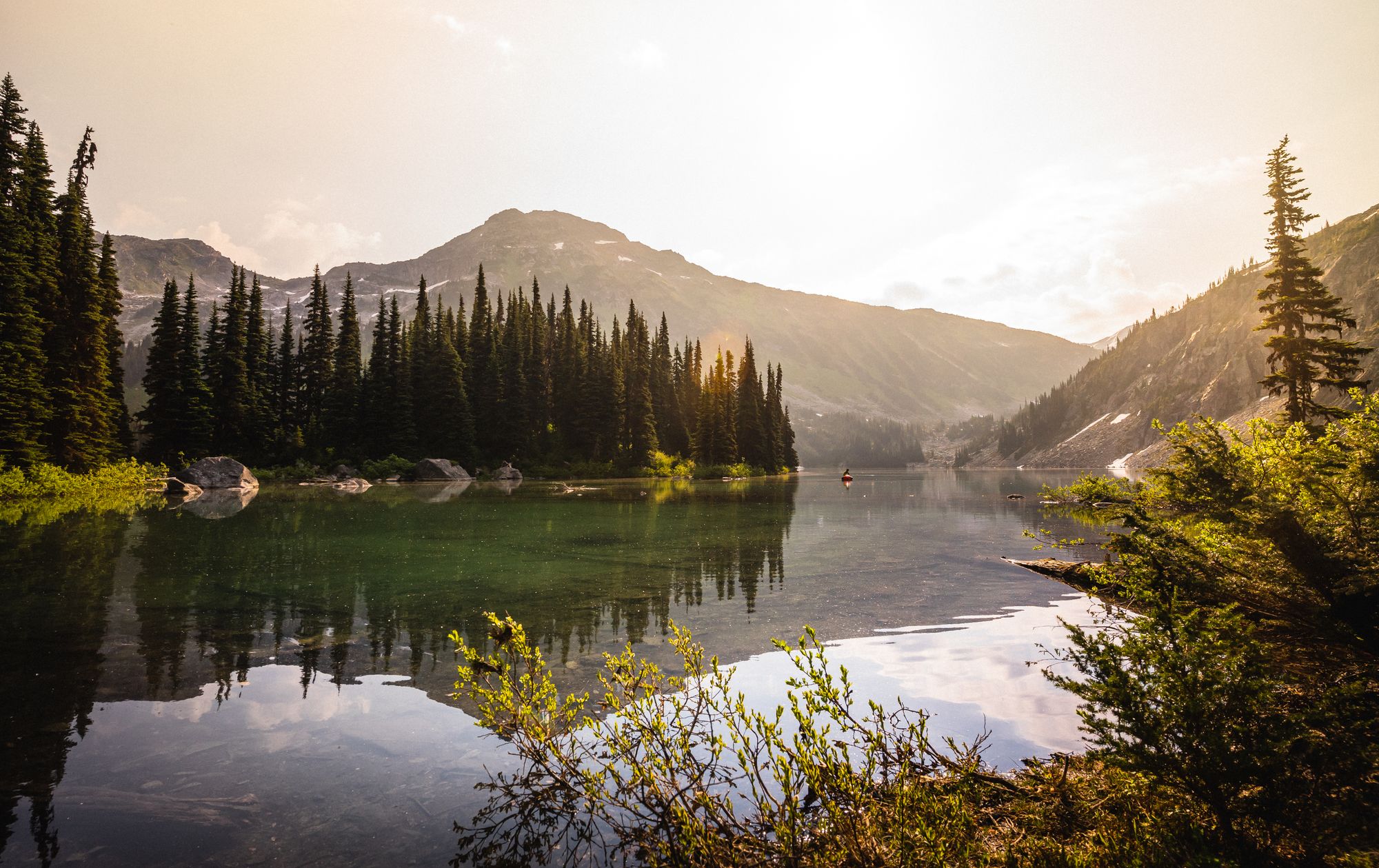 Chamonix, FR01 / 06
“Is the Cosmiques Arête in condition this week, and when should we be on the Midi lift?”
In condition. Take the 7:10 lift; the snow arête softens past 11:00 with a freezing level of 3,900 m. Expect a queue at the rappel and carry at least a 30 m rope.
Confidence on every climb.
Care in every answer.
Diorite speaks the language of mountain professionals and brings their judgment to every plan. Guides help shape how it is trained, tested and released.
Clear, transparent briefs.
Every brief comes with a confidence score and the reasoning behind it, so you always know how the call was made.
It errs toward going home.
When sources disagree, Diorite leans toward the plan that brings everyone home, and finds you the best window to go.
It is checked by guides.
Every release is graded by a council of twelve guides, ski patrollers and SAR coordinators before it ships.
You make the call.
Diorite gives you expert-level insight in seconds. The adventure, and every decision on it, stays yours.
12
Guides on the safety council
18k
Expert-graded scenarios
58
Avalanche centers integrated
Trusted where it matters.
“I have guided in Chamonix for nineteen years. Diorite is the first tool I trust to read a bulletin the way I would. It caught a wind-loading shift on the Vallée Blanche that I had glossed over.”

Margaux Lefèvre
IFMGA Mountain Guide, Chamonix
“Nine days in the Wind Rivers, no signal. Field Mode re-planned around a closed pass on day six and got us out a day ahead of the snow.”

Daniel Hughes
Backpacker, 40+ thru-hikes
“It knows I am slow on scree and fast on dirt. The turnaround times it gives me are ones I can actually hit.”

Priya Raman
Trail runner and ski mountaineer
58
Avalanche centers
2.1M
Routes mapped
12
Guides on our safety council
6
Disciplines covered
A thoughtful mind,
trained on the mountains.
We chose Claude, from Anthropic, as Diorite's reasoning core because in blind evaluations with guides it gave the most accurate, grounded answers, weighing every source with the judgment of a seasoned partner.
Careful reasoning
Weighs conflicting forecasts the way an experienced partner would, and explains exactly why.
Our mountain stack
Terrain models, live hazard feeds, guide-written evaluations and an offline field model.
Your data stays yours
Trips and location history are never used to train models. Deleted means gone in 24 hours.
Before you rope up.
No. Diorite reads and reconciles the official sources, it does not replace them. It always links the bulletin and forecast it used, and tells you when an objective is beyond what self-guided planning can responsibly cover.
Download a trip and Field Mode keeps a compact on-device model, your maps, the brief and your pace plan on the phone. Ask questions, log position and get turnaround warnings with zero connectivity, at roughly 3% battery per hour.
Diorite imports GPX, FIT and KML from any device and syncs activity history from most major watch platforms, so your pace model is built from real data. Satellite messengers can receive your shared plan.
Diorite's reasoning is built on Claude by Anthropic, combined with our own terrain models, hazard pipelines and an offline field model. Your trips are never used to train any model.
Briefs are available worldwide. Full avalanche integration covers North America, the Alps, Scandinavia, New Zealand and Japan, with more regions every season.
Now open to everyone · Season 2026
Your next summit
starts here.
Seven months of early access, tested by climbers and guides all season. No waitlist anymore. Create a free account and get your first brief in minutes.